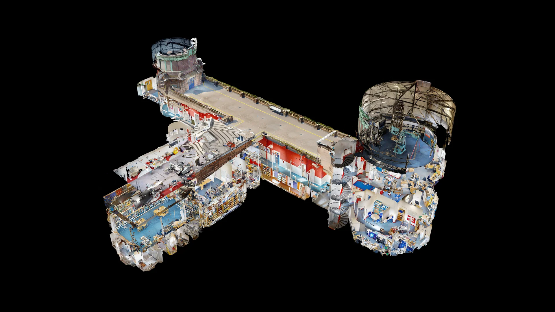
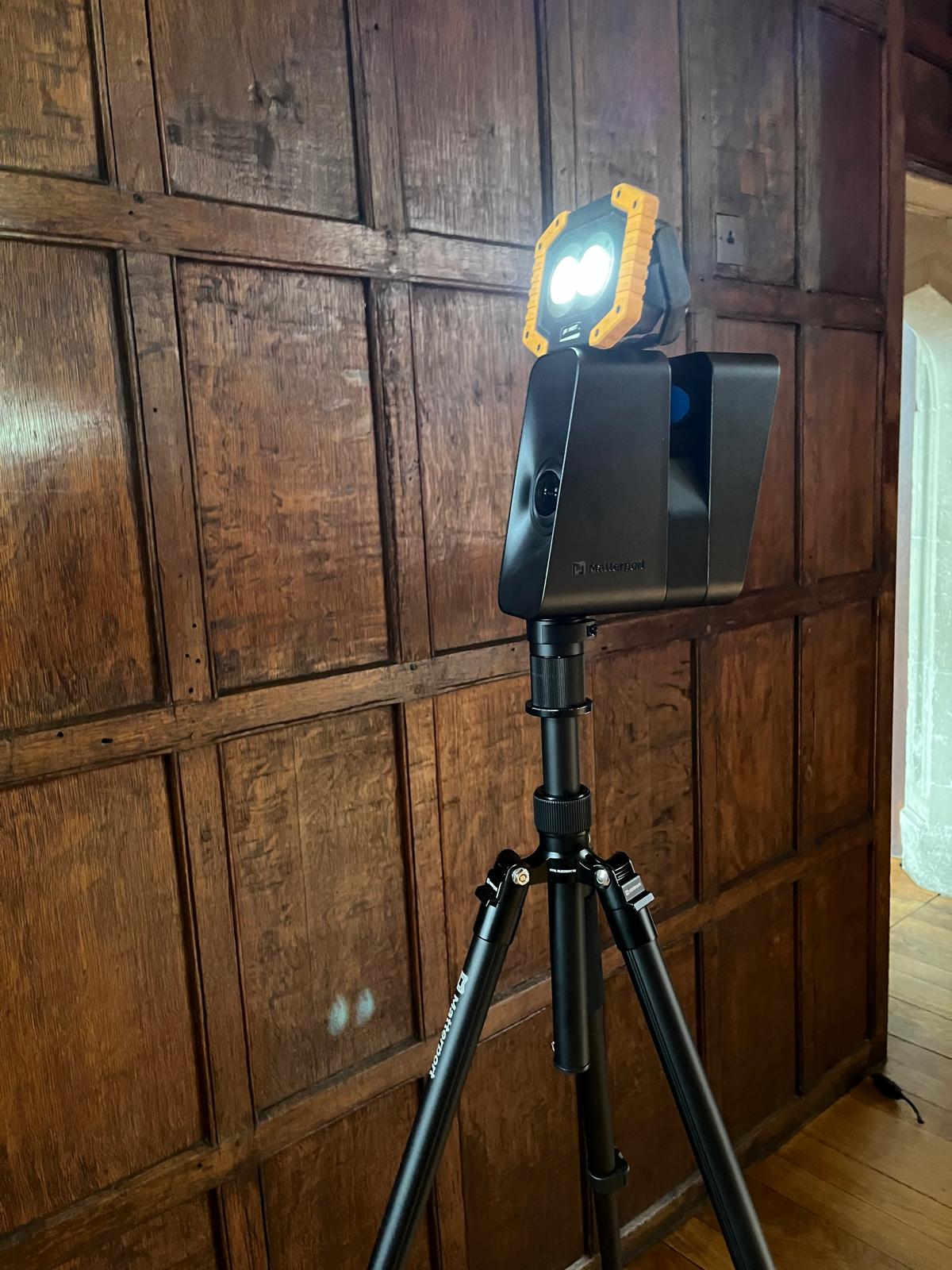
June is a great month for scanning large or complex sites in Scotland: long daylight hours help with access planning, and it’s easier to capture exteriors, corridors and transition spaces without rushing. This year, one of our standout June jobs was creating a Matterport digital twin at Royal Observatory Edinburgh (ROE) on Blackford Hill—an astronomical site that combines research, teaching, outreach and heritage on one campus.
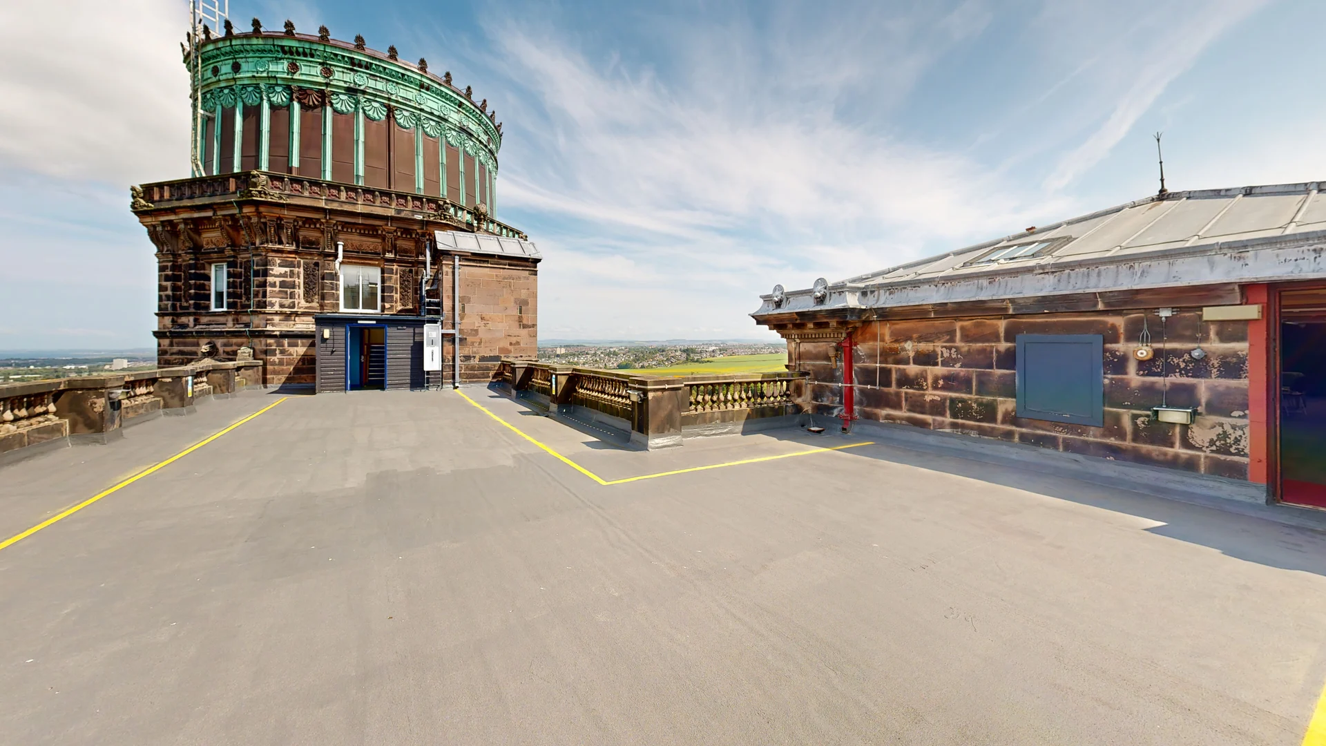
Royal Observatory Edinburgh is a particularly interesting environment to document because it isn’t “one building with one use.” It brings together the UK Astronomy Technology Centre (UK ATC), the University of Edinburgh’s Institute for Astronomy, and the ROE Visitor Centre on the same site. That mix matters, because a well-made 3D virtual tour can serve multiple audiences at once: operational teams planning access, staff coordinating spaces, and public-facing teams supporting remote engagement.
Why Matterport works for heritage and science sites
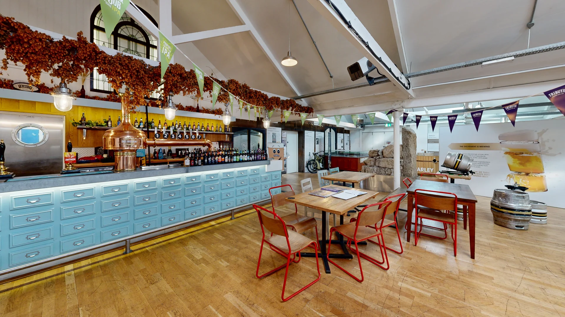
When people hear “virtual tour,” they often think purely marketing. For heritage and science campuses, the stronger use case is often documentation: capturing what exists now, in a format that’s easy to share and easy for non-technical stakeholders to understand.
A Matterport scan creates a navigable “walk-through” record that can support:
-
Planning and coordination: Teams can review routes, spaces and adjacencies remotely before a visit.
-
Baseline documentation: A time-stamped record is useful ahead of refurbishments, reconfigurations or exhibitions.
-
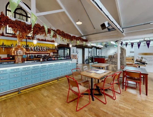
Public engagement: Visitor centres can use digital content to extend outreach beyond on-site events, complementing virtual activities and tours that organisations like ROE have offered in the past.
The practical challenges (and how we approach them)
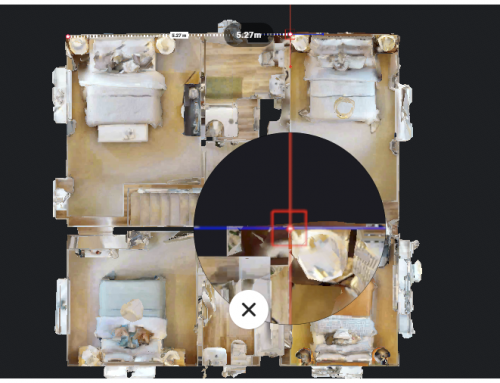
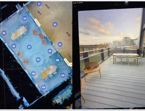
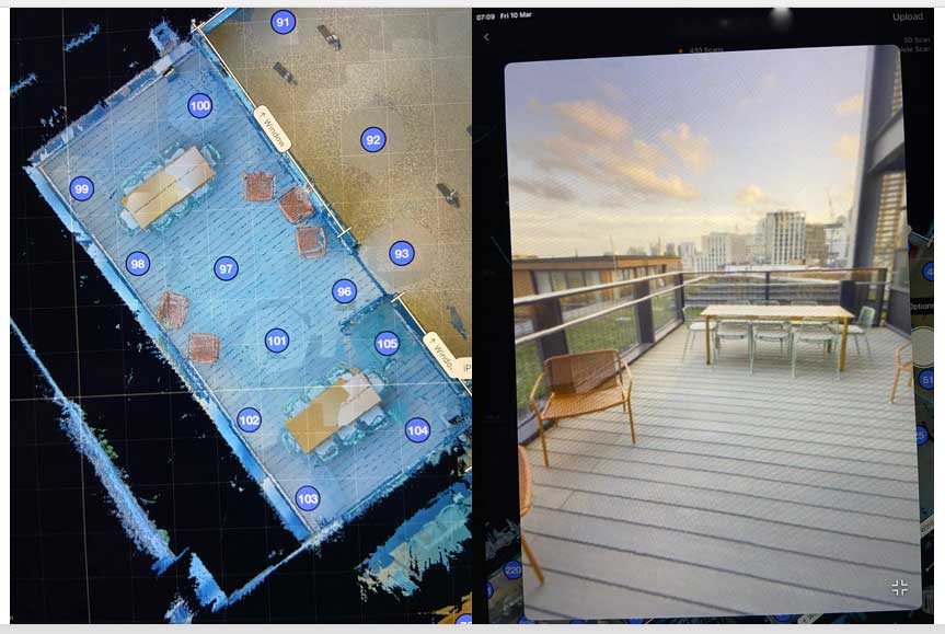
Complex campuses tend to fail for one of two reasons: weak transitions or inconsistent capture. ROE is signposted and accessed via Blackford Hill, and like many sites of this type you have multiple zones with different “feel” and lighting conditions. The solution is to scan like a survey rather than “walking around and hoping it connects.”
What we focus on:
-
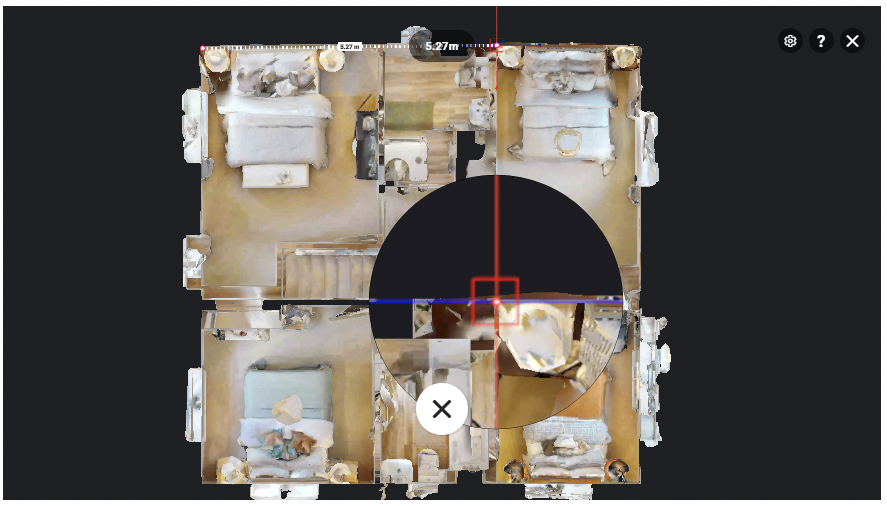
Transitions first: Entrances, corridors, stair cores and junctions act as the spine of the model; if these are solid, everything else aligns more reliably.
-
Zone planning: We break the site into logical chunks (by function or floor), complete each chunk cleanly, then connect zones intentionally.
-
Consistency: Camera height and scan spacing stay as consistent as possible so the tour feels smooth—especially important when a space will be used by stakeholders who weren’t on site.
This is also where Matterport as a platform has been heading: making digital twins more actionable for real work, not just a link on a website. Matterport’s own release and news cycle has emphasised productivity and collaboration improvements—features designed to help teams capture and manage spaces more efficiently.
What to include in a “heritage-ready” deliverable
If you’re commissioning a Matterport scan for a heritage, education or visitor site, it helps to decide up front what “done” means. A good brief usually answers:
-
Is this for public engagement, internal planning, or both?
-
Do you need a complete record (including back-of-house), or a curated visitor route?
-
Do you want labels/tags for interpretation and wayfinding?
At a site like Royal Observatory Edinburgh—where science, education and outreach overlap—the best result is typically a digital twin that’s clear, complete, and easy for different teams to use without extra explanation.
If you’re responsible for a heritage building, visitor attraction, campus or complex facility in Edinburgh (or anywhere in the UK), we can advise on the right scanning approach and deliverables to match your goals.
